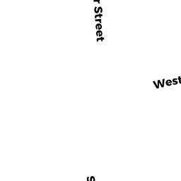
559 WARREN AV
Owner Information
AMBROSE PETER J TR
48 PAULIN AV
BROCKTON, MA 02302


Property Details
559 WARREN AV is classified as a Two-Family Residential (11:two family).
The primary structure on this property was built in 1925. There is 1,815ft2 of residential/living space within this property. This property is listed as having 8 rooms.
559 WARREN AV is valued at $361,400. The land is valued at $78,800 and the structures are valued at $282,600.
This property is in Zone R3. Confirm with local Zoning Board authorities to ensure there are no overlays or other easements on this property.
The most recent deed for 559 WARREN AV is recorded at the local registrar in Book 39962, Page 1. 559 WARREN AV was last sold on Tuesday, May 24, 2011 for $75,000.
Assessment data from fiscal year 2021.
Flood Data
According to the FEMA National Flood Hazard Layer, this property does not appear to be in a flood zone. It may also be in an area not yet reviewed. Nonetheless, confirm this information prior to taking any action.
To view the flood hazards around this property, create a FEMA "Firmette" Map of the area around 559 WARREN AV.
Broadband Internet Providers
| Provider | Type | Bandwidth (mbps) | |
|---|---|---|---|
| Verizon New England Inc. | DSL | 10 | 1 |
| VSAT Systems, LLC. | Satellite | 2 | 1 |
| HughesNet | Satellite | 25 | 3 |
| GCI Communication Corp. | Satellite | 0 | 0 |
| T-Mobile | Fixed Wireless | 25 | 3 |
| Comcast | Cable | 1000 | 35 |
| Viasat Inc | Satellite | 100 | 3 |
Broadband service provider data from December 2020.
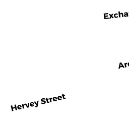
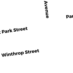
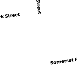
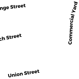
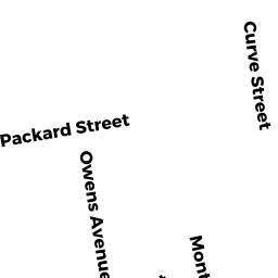
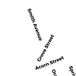
Adjacent Properties
- 66 DOVER ST
Multiple Houses on one parcel owned by DEPINA WALTER - 17 FOSTER ST #25
Residential Condominium owned by BARROS JANIE M - 17 FOSTER ST #26
Residential Condominium owned by JONES BOOKER JONANDDRIA C - 17 FOSTER ST # 21
Residential Condominium owned by AFFORDABLE PROPERTIES LLC - 17 FOSTER ST # 23
Residential Condominium owned by BOOKER DIONNE A JONES - 17 FOSTER ST # 24
Residential Condominium owned by AFFORDABLE PROPERTIES LLC - 17 FOSTER ST # 22
Residential Condominium owned by AFFORDABLE PROPERTIES LLC - 17 FOSTER ST # 20
Residential Condominium owned by AFFORDABLE PROPERTIES LLC - 17 FOSTER ST # 19
Residential Condominium owned by MIESES EDDY R - 17 FOSTER ST # 18
Residential Condominium owned by AFFORDABLE PROPERTIES LLC - 17 FOSTER ST # 17
Residential Condominium owned by AFFORDABLE PROPERTIES LLC - 17 FOSTER ST # 16
Residential Condominium owned by AFFORDABLE PROPERTIES LLC - 17 FOSTER ST # 15
Residential Condominium owned by AFFORDABLE PROPERTIES LLC - 17 FOSTER ST # 14
Residential Condominium owned by AFFORDABLE PROPERTIES LLC - 17 FOSTER ST # 13
Residential Condominium owned by AFFORDABLE PROPERTIES LLC - 17 FOSTER ST # 11
Residential Condominium owned by AFFORDABLE PROPERTIES LLC - 17 FOSTER ST # 10
Residential Condominium owned by AFFORDABLE PROPERTIES LLC - 17 FOSTER ST # 9
Residential Condominium owned by AFFORDABLE PROPERTIES LLC - 17 FOSTER ST # 8
Residential Condominium owned by AFFORDABLE PROPERTIES LLC - 17 FOSTER ST # 7
Residential Condominium owned by AFFORDABLE PROPERTIES LLC - 17 FOSTER ST # 6
Residential Condominium owned by AFFORDABLE PROPERTIES LLC - 17 FOSTER ST # 5
Residential Condominium owned by AFFORDABLE PROPERTIES LLC - 17 FOSTER ST # 4
Residential Condominium owned by AFFORDABLE PROPERTIES LLC - 17 FOSTER ST # 3
Residential Condominium owned by AFFORDABLE PROPERTIES LLC - 17 FOSTER ST # 2
Residential Condominium owned by AFFORDABLE PROPERTIES LLC - 17 FOSTER ST # 12
Residential Condominium owned by AFFORDABLE PROPERTIES LLC - 17 FOSTER ST # 1
Residential Condominium owned by AFFORDABLE PROPERTIES LLC - 583 WARREN AV
General Office Buildings owned by POLILLIO GEORGE D JR TR - 567 WARREN AV
Mixed Use (Primarily Residential, some Commercial) owned by AMBROSE PETER J TR - 551 WARREN AV
Three-Family Residential owned by PINA DANIEL